
Resources
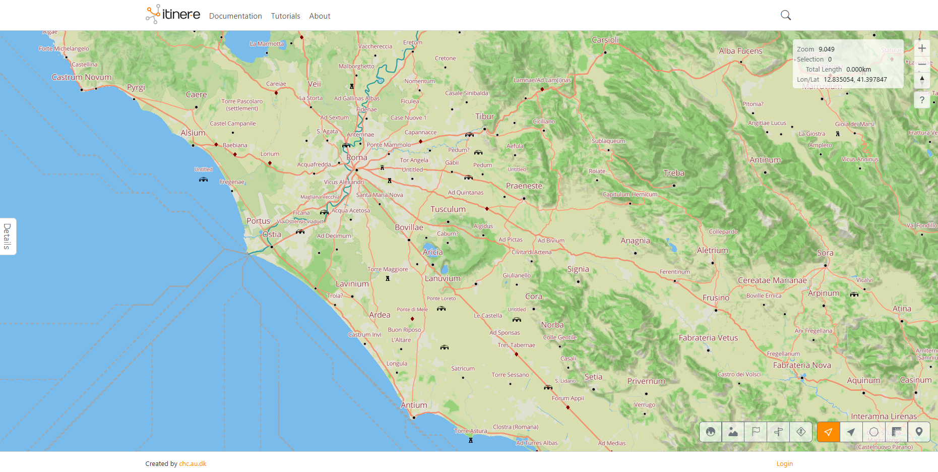
Itiner-e: The Digital Atlas of Ancient Roads
This is today the most comprehensive and detailed digital representation of the Roman road network available. I was involved in its creation while at UrbNET in Aarhus University with Tom Brughmans. Together with Tom and Pau de Soto (Universitat Autònoma de Barcelona) we continue to maintain and develop the platform.
al-Ṯurayyā Project
Gazetteer and network model of Medieval Islamic world (based on Georgette Cornu’s Atlas du monde arabo-islamique à l’époque classique: IXe-Xe siècles, Leiden: Brill, 1983).
My Github
My repository with code (mostly R) focusing predominantly on LCP and network analysis. All supplementary data for publications are stored here. (Right now empty)
More resources to come