Busy conference season and plans for summer
Past couple of weeks were quite busy on my part. As I advertised in my previous post, I went to Athens for Computer Applications in Archaeology conference at the beginning of May to present my work on the analysis of the Roman road data stemming from Work Package 1 of the VIA-TARIQ Project.
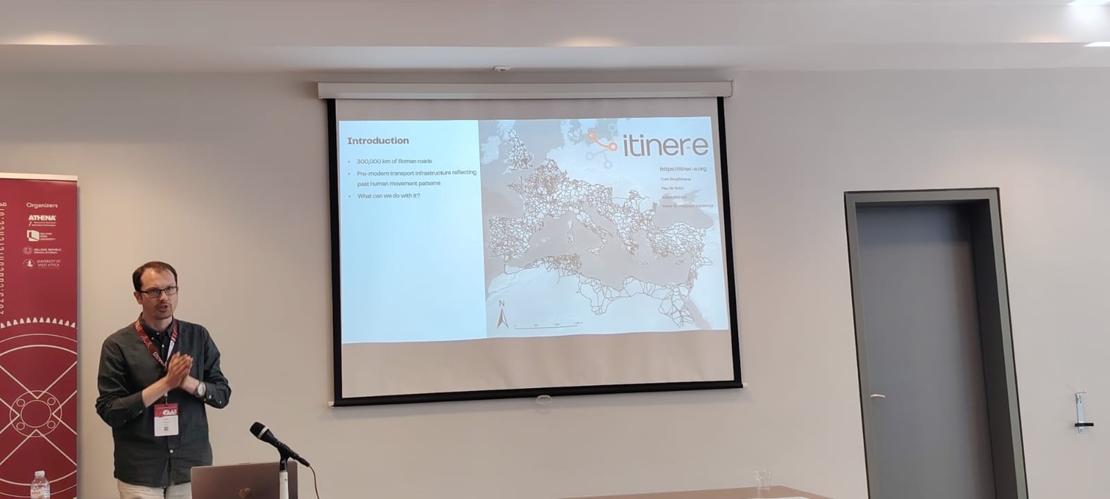
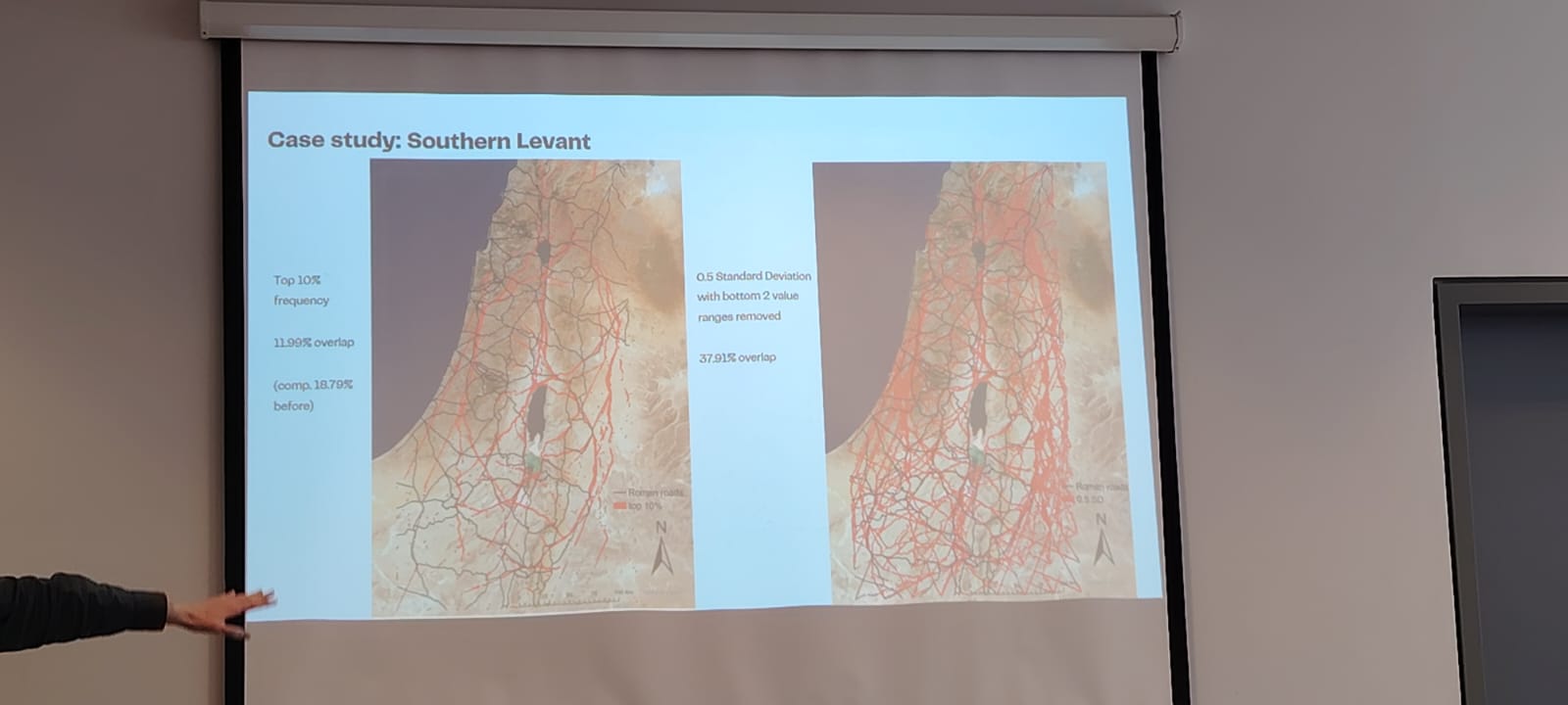 It was really great to come to Athens and be part of the wholesome community of digital archaeologists, meet old friends, make new acquaintances, and learn about all the new exciting research in computational methods in archaeology. Due to my interests, I am obviously more closely following developments in modelling the movement in archaeology, landscape archaeology, and human-environmental interactions, but it was very intriguing to see emerging applications of AI (still mostly machine-learning, with little in the field of language models in fact) in archaeology.
Regardless, after my presentation at the CAA and some discussion with my colleagues I decided to update the case study of my movement model (focusing on the Southern Levant) to be more commensurable with the “big” movement model for the whole Levant. And I presented this updated model at the Počítačová podpora v archeologii conference (Czech/Slovak chapter of the international CAA) in lovely town of Broumov, Czechia on May 26-28.
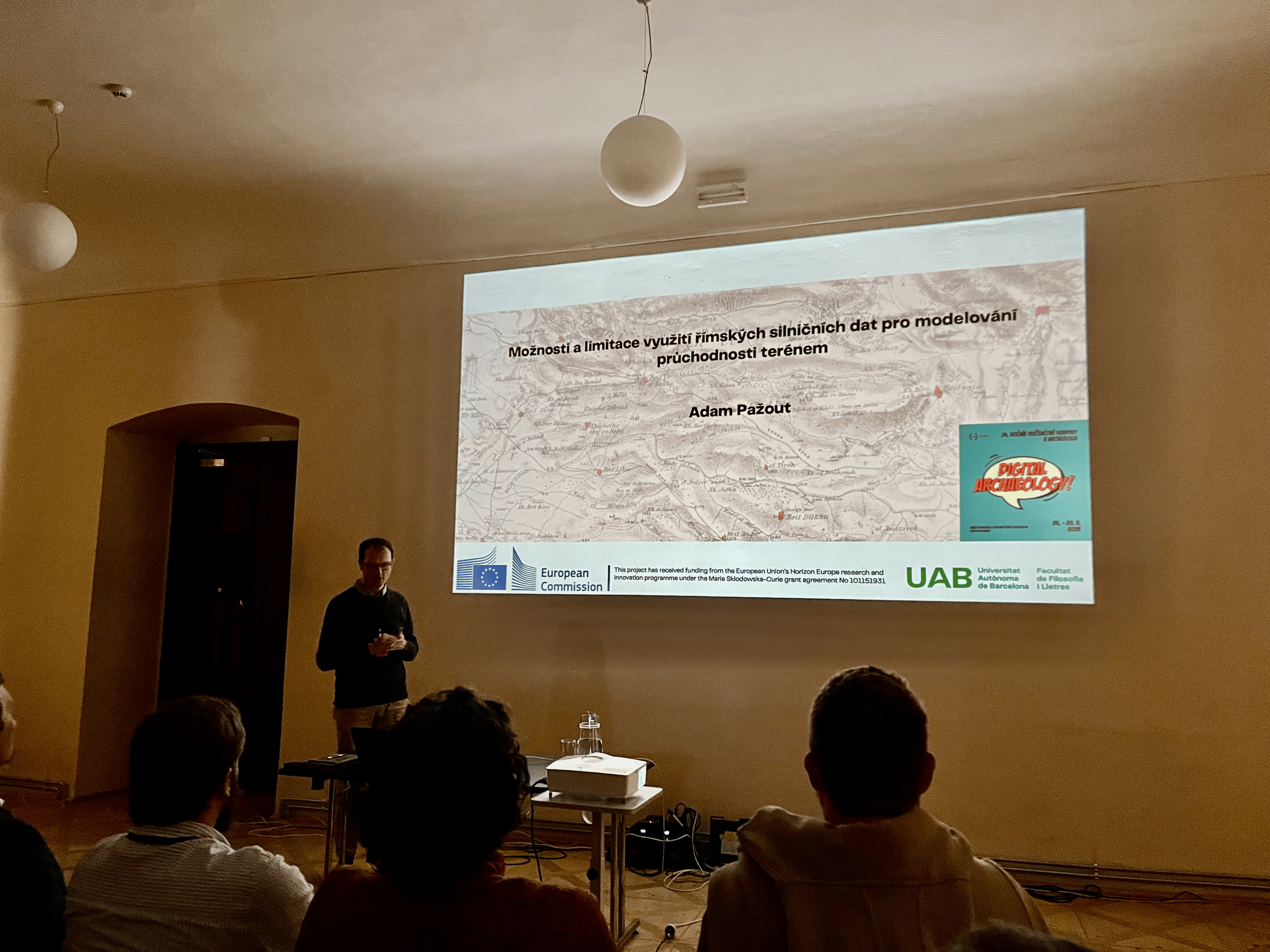 It was good opportunity to re-connect with Czech and Slovak colleagues and to see what is happening in Czech and Slovak archaeology - again it seems that a lot of AI applications are being developed, especially for image classification (remote sensing and archives!) and processing of large archaeometric datasets.
I finished this busy schedule with a workshop at Lund University ‘Connecting the Ancient Mediterranean: Approaches, Evidence, and Case Studies’ organized by Maria Moreno, where I presented our work on the Itiner-e and the analysis of the Roman road dataset.
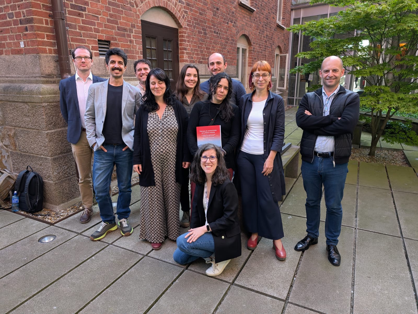
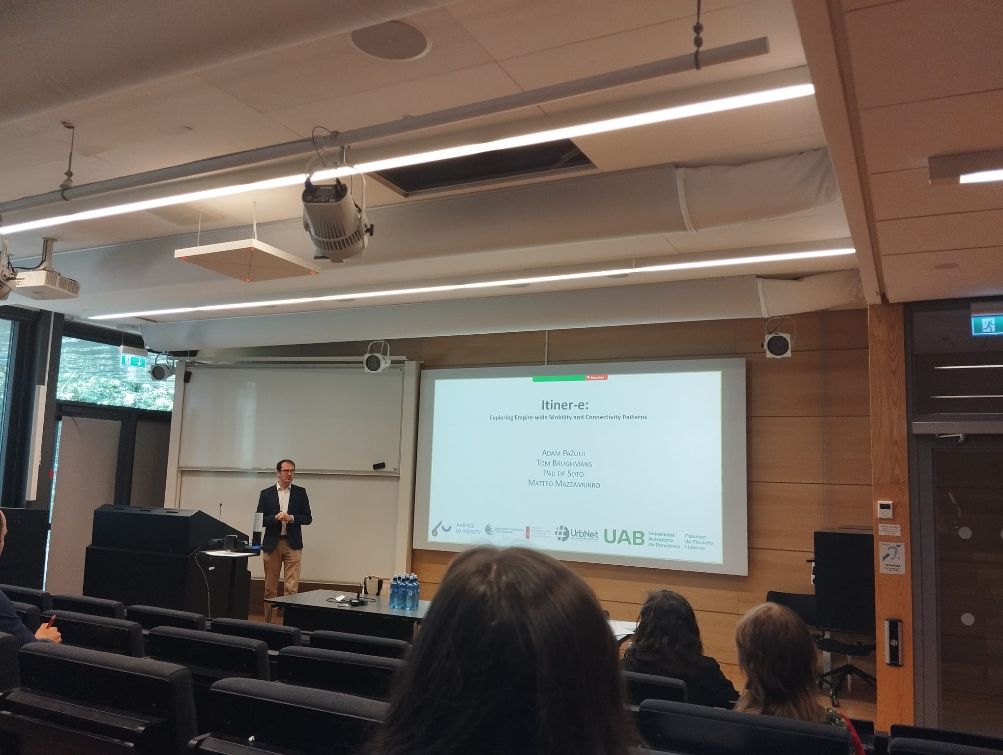 Maria managed to get together very diverse group of people working on various facets of mobility, both terrestrial and water-borne, in the antiquity. It was reassuring to see that there are more people interested in transport and mobility in the ancient times, who encounter similar methodological and theoretical challenges as us. I’ll be happy to keep in touch with all of them! Big thanks goes to Maria for excellent organization!
One of the main takeaways of the WP 1 of VIA-TARIQ project is, that the location of Roman roads in the Levant is only partially driven by topographical constraints. When modelling ‘natural corridors of movement’ i.e., areas in the landscape that are more conductive to movement than others, only ca. 20% of the length of Roman roads coincide with them. This tells me that ca. 80% of the location of Roman roads can be explained either by a) additional topographical/environmental factors which I did not take into account initially, or b) their location is mostly driven by socio-cultural variables. For this reason, I’ll be now focusing on modelling theoretical least-cost path networks using a dataset of settlements covering Hellenistic to Byzantine period in the Levant (quite painstakingly collected over the spring) and comparing them to the evidence for the Roman road network in the region. It seems like a busy summer.
Many thanks to Angel Grigorov, Pavel Kacl, and Maria Coto for the photos.